Taylor & Francis

Geomatics Natural Hazards and Risk Template

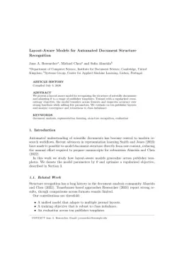
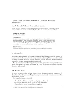
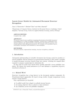
Write in a clean editor, then format for Geomatics Natural Hazards and Risk in one click — DocuGuru applies the official Taylor & Francis template with author–year references and exports a submission-ready PDF plus the editable LaTeX source. Free to start.

About the Geomatics Natural Hazards and Risk format

Geomatics Natural Hazards and Risk is a peer-reviewed journal published by Taylor & Francis, covering Landslides and related hazards, Flood Risk Assessment and Management, earthquake and tectonic studies.

PublisherTaylor & Francis
Reference styleAuthor–year (Chicago, T&F)
Author–year — (Smith, 2023) in the text
Smith, Ada, Ben Jones, and Cara Lee. 2023. "A Representative Article Title." Geomatics Natural Hazards and Risk 12 (3): 45–58.

Formats any DOI in Geomatics Natural Hazards and Risk style. No sign-up.

Publishes research inLandslides and related hazards Flood Risk Assessment and Management earthquake and tectonic studies Rock Mechanics and Modeling Hydrology and Watershed Management Studies
ISSN1947-5705
Citation impact (2-yr)3.96
h-index87
i10-index948
Total citations40,744
Article processing charge$1,790
Open accessYes
Top institutions publishing hereChinese Academy of Sciences
Journal websitewww.tandfonline.com
You getA submission-ready PDF and the editable LaTeX source — ready to submit.

Papers published in Geomatics Natural Hazards and Risk per year

60
2014
54
2015
78
2016
85
2017
78
2018
108
2019
129
2020
151
2021
130
2022
151
2023
205
2024
239
2025

Citation impact of Geomatics Natural Hazards and Risk by publication year

2.1K
2014
2.4K
2015
3.7K
2016
4.8K
2017
2.6K
2018
3.6K
2019
3.9K
2020
4.1K
2021
3.1K
2022
2.4K
2023
1.7K
2024
556
2025

Citations each year’s papers have accumulated so far — the most recent years are still building up.

Most-cited papers in Geomatics Natural Hazards and Risk

Assessment of the effects of training data selection on the landslide susceptibility mapping: a comparison between support vector machine (SVM), logistic regression (LR) and artificial neural networks (ANN)

Bahareh Kalantar, Biswajeet Pradhan, Seyed Amir Naghibi et al. · 6 Dec 2017

Landslide is a natural hazard that results in many economic damages and human losses every year. Numerous researchers have studied landslide susceptibility mapping (LSM), each attempting to improve the accuracy of the final outputs. However, few studies have been published on the training data selection effects on the LSM. Thus, this study assesses the training…

Flood hazard zoning in Yasooj region, Iran, using GIS and multi-criteria decision analysis

Omid Rahmati, Hossein Zeinivand, Mosa Besharat · 19 May 2015

Flood is considered to be the most common natural disaster worldwide during the last decades. Flood hazard potential mapping is required for management and mitigation of flood. The present research was aimed to assess the efficiency of analytical hierarchical process (AHP) to identify potential flood hazard zones by comparing with the results of a hydraulic…

Ensemble machine-learning-based geospatial approach for flood risk assessment using multi-sensor remote-sensing data and GIS

Hossein Mojaddadi Rizeei, Biswajeet Pradhan, Haleh Nampak et al. · 1 Mar 2017

© 2017 The Author(s). Published by Informa UK Limited, trading as Taylor & Francis Group. In this paper, an ensemble method, which demonstrated efficiency in GIS based flood modeling, was used to create flood probability indices for the Damansara River catchment in Malaysia. To estimate flood probability, the frequency ratio (FR) approach was combined with…

Multipurpose UAV for search and rescue operations in mountain avalanche events

Mario Silvagni, Andrea Tonoli, Enrico Zenerino et al. · 7 Oct 2016

This paper presents a multipurpose UAV (unmanned aerial vehicle) for mountain rescue operations. The multi-rotors based flying platform and its embedded avionics are designed to meet environmental requirements for mountainous terrain such as low temperatures, high altitude and strong winds, assuring the capability of carrying different payloads (separately or together) such as: avalanche beacon (ARTVA)…

Spatial prediction of flood susceptibility using random-forest and boosted-tree models in Seoul metropolitan city, Korea

Sunmin Lee, Sunmin Lee, Jeong-Cheol Kim et al. · 10 Apr 2017

Since flood frequency increases with the impact of climate change, the damage that is emphasized on flood-risk maps is based on actual flooded area data; therefore, flood-susceptibility maps for the Seoul metropolitan area, for which random-forest and boosted-tree models are used in a geographic information system (GIS) environment, are created for this study. For the…

Geomatics Natural Hazards and Risk template — frequently asked questions

How do I write a paper in the Geomatics Natural Hazards and Risk format?
In DocuGuru you write your manuscript in a normal editor — no LaTeX setup required — and select the Geomatics Natural Hazards and Risk template. When you export, DocuGuru compiles the paper into the official Taylor & Francis format and hands you a submission-ready PDF along with the editable LaTeX source.
What reference style does Geomatics Natural Hazards and Risk use?
Geomatics Natural Hazards and Risk uses Author–year (Chicago, T&F) references, shown as author–year markers such as (Smith, 2023) in the text. DocuGuru formats every in-text citation and the reference list in this exact style automatically. A reference appears like this: Smith, Ada, Ben Jones, and Cara Lee. 2023. "A Representative Article Title." Geomatics Natural Hazards and Risk 12 (3): 45–58.
Do I need to know LaTeX to submit to Geomatics Natural Hazards and Risk?
No. DocuGuru generates the interact LaTeX class and compiles the PDF for you in the background, so you get a Taylor & Francis-ready Geomatics Natural Hazards and Risk document without writing any LaTeX. If you do want it, the LaTeX source is included in the export.
Can I import an existing draft into the Geomatics Natural Hazards and Risk template?
Yes. Paste or upload your current manuscript — Word, LaTeX, Markdown, or plain text — and DocuGuru reflows it into the Geomatics Natural Hazards and Risk format with correct headings, figures, tables, and author–year citations.
Who publishes Geomatics Natural Hazards and Risk?
Geomatics Natural Hazards and Risk is a multidisciplinary journal published by Taylor & Francis. DocuGuru's Geomatics Natural Hazards and Risk template matches Taylor & Francis's official submission format.
Can I export a submission-ready Geomatics Natural Hazards and Risk PDF?
Yes — DocuGuru produces a PDF built with the official Geomatics Natural Hazards and Risk template (the interact class) that is ready to submit to Taylor & Francis, together with the matching LaTeX source files.
How much does the Geomatics Natural Hazards and Risk template cost?
You can start writing in the Geomatics Natural Hazards and Risk template for free. Exporting the final submission-ready Geomatics Natural Hazards and Risk PDF and LaTeX source is part of DocuGuru's paid plans — see the app for current pricing.

Use the Geomatics Natural Hazards and Risk template