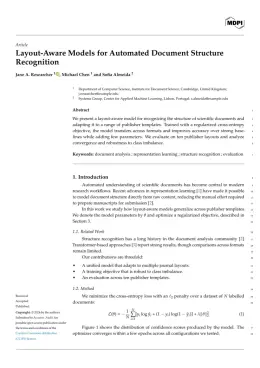
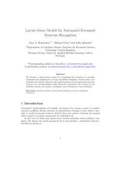
About the ISPRS International Journal of Geo-Information format
ISPRS International Journal of Geo-Information is a peer-reviewed journal published by MDPI, covering Geographic Information Systems Studies, Land Use and Ecosystem Services, Human Mobility and Location-Based Analysis. Over its lifetime it has published 6,061 papers, which have received 118,825 citations.
| Publisher | MDPI |
|---|
| Reference style | Numbered (MDPI) Numbered — [1], [2] in the text
1. Smith, A.; Jones, B.; Lee, C. A Representative Article Title. ISPRS International Journal of Geo-Information 2023, 12, 45–58.
Formats any DOI in ISPRS International Journal of Geo-Information style. No sign-up.
|
|---|
| Abbreviation (ISO-4) | ISPRS Int. J. Geo-Inf. |
|---|
| Publishes research in | Geographic Information Systems Studies Land Use and Ecosystem Services Human Mobility and Location-Based Analysis Urban Transport and Accessibility Data Management and Algorithms |
|---|
| ISSN | 2220-9964 |
|---|
| Citation impact (2-yr) | 3.42 |
|---|
| h-index | 108 |
|---|
| i10-index | 3,231 |
|---|
| Article processing charge | $1,515 |
|---|
| Open access | Yes — indexed in DOAJ |
|---|
| Top institutions publishing here | Wuhan University |
|---|
| Journal website | www.mdpi.com |
|---|
| You get | A submission-ready PDF and the editable LaTeX source — ready to submit. |
|---|
Papers published in ISPRS International Journal of Geo-Information per year
Citation impact of ISPRS International Journal of Geo-Information by publication year
Citations each year’s papers have accumulated so far — the most recent years are still building up.
Most-cited papers in ISPRS International Journal of Geo-Information
Applications of 3D City Models: State of the Art Review
Filip Biljecki, Jantien Stoter, Hugo Ledoux et al. · 18 Dec 2015
In the last decades, 3D city models appear to have been predominantly used for visualisation; however, today they are being increasingly employed in a number of domains and for a large range of tasks beyond visualisation. In this paper, we seek to understand and document the state of the art regarding the utilisation of 3D…
mgwr: A Python Implementation of Multiscale Geographically Weighted Regression for Investigating Process Spatial Heterogeneity and Scale
Taylor M. Oshan, Ziqi Li, Wei Kang et al. · 8 Jun 2019
Geographically weighted regression (GWR) is a spatial statistical technique that recognizes that traditional ‘global’ regression models may be limited when spatial processes vary with spatial context. GWR captures process spatial heterogeneity by allowing effects to vary over space. To do this, GWR calibrates an ensemble of local linear models at any number of locations using…
Mapping Local Climate Zones for a Worldwide Database of the Form and Function of Cities
Benjamin Bechtel, Paul J. Alexander, Jürgen Böhner et al. · 2 Feb 2015
Progress in urban climate science is severely restricted by the lack of useful information that describes aspects of the form and function of cities at a detailed spatial resolution. To overcome this shortcoming we are initiating an international effort to develop the World Urban Database and Access Portal Tools (WUDAPT) to gather and disseminate this…
EASE-Grid 2.0: Incremental but Significant Improvements for Earth-Gridded Data Sets
M. J. Brodzik, Brendan Billingsley, T. M. Haran et al. · 13 Mar 2012
Defined in the early 1990s for use with gridded satellite passive microwave data, the Equal-Area Scalable Earth Grid (EASE-Grid) was quickly adopted and used for distribution of a variety of satellite and in situ data sets. Conceptually easy to understand, EASE-Grid suffers from limitations that make it impossible to format in the widely popular GeoTIFF…
Crowdsourcing, Citizen Science or Volunteered Geographic Information? The Current State of Crowdsourced Geographic Information
Linda See, Peter Mooney, Giles M. Foody et al. · 27 Apr 2016
Citizens are increasingly becoming an important source of geographic information, sometimes entering domains that had until recently been the exclusive realm of authoritative agencies. This activity has a very diverse character as it can, amongst other things, be active or passive, involve spatial or aspatial data and the data provided can be variable in terms…