How do I write a paper in the IEEE Journal of Selected Topics in Applied Earth Observations and Remote Sensing format?
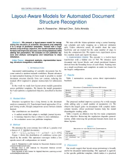
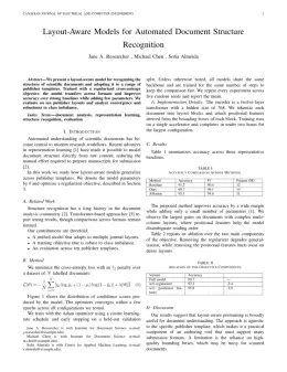
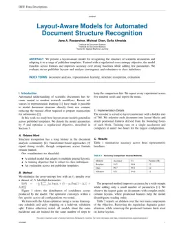
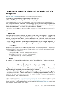
In DocuGuru you write your manuscript in a normal editor — no LaTeX setup required — and select the IEEE Journal of Selected Topics in Applied Earth Observations and Remote Sensing template. When you export, DocuGuru compiles the paper into the official IEEE format and hands you a submission-ready PDF along with the editable LaTeX source.
What reference style does IEEE Journal of Selected Topics in Applied Earth Observations and Remote Sensing use?
IEEE Journal of Selected Topics in Applied Earth Observations and Remote Sensing uses Numbered (IEEE) references, shown as numbered [1], [2] markers in the text. DocuGuru formats every in-text citation and the reference list in this exact style automatically. A reference appears like this: [1] A. Smith, B. Jones, and C. Lee, "A representative article title," IEEE Journal of Selected Topics in Applied Earth Observations and Remote Sensing, vol. 12, no. 3, pp. 45–58, 2023.
Do I need to know LaTeX to submit to IEEE Journal of Selected Topics in Applied Earth Observations and Remote Sensing?
No. DocuGuru generates the IEEEtran LaTeX class and compiles the PDF for you in the background, so you get a IEEE-ready IEEE Journal of Selected Topics in Applied Earth Observations and Remote Sensing document without writing any LaTeX. If you do want it, the LaTeX source is included in the export.
Can I import an existing draft into the IEEE Journal of Selected Topics in Applied Earth Observations and Remote Sensing template?
Yes. Paste or upload your current manuscript — Word, LaTeX, Markdown, or plain text — and DocuGuru reflows it into the IEEE Journal of Selected Topics in Applied Earth Observations and Remote Sensing format with correct headings, figures, tables, and numbered citations.
Who publishes IEEE Journal of Selected Topics in Applied Earth Observations and Remote Sensing?
IEEE Journal of Selected Topics in Applied Earth Observations and Remote Sensing is a engineering and computer science journal published by IEEE. DocuGuru's IEEE Journal of Selected Topics in Applied Earth Observations and Remote Sensing template matches IEEE's official submission format.
Can I export a submission-ready IEEE Journal of Selected Topics in Applied Earth Observations and Remote Sensing PDF?
Yes — DocuGuru produces a PDF built with the official IEEE Journal of Selected Topics in Applied Earth Observations and Remote Sensing template (the IEEEtran class) that is ready to submit to IEEE, together with the matching LaTeX source files.
How much does the IEEE Journal of Selected Topics in Applied Earth Observations and Remote Sensing template cost?
You can start writing in the IEEE Journal of Selected Topics in Applied Earth Observations and Remote Sensing template for free. Exporting the final submission-ready IEEE Journal of Selected Topics in Applied Earth Observations and Remote Sensing PDF and LaTeX source is part of DocuGuru's paid plans — see the app for current pricing.