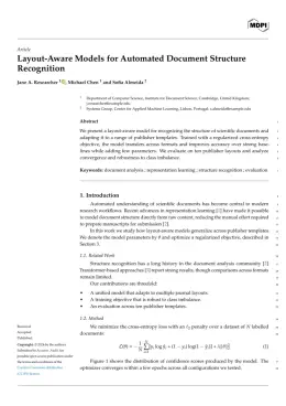
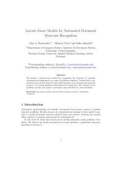
About the GeoHazards format
GeoHazards is a peer-reviewed journal published by MDPI, covering Landslides and related hazards, earthquake and tectonic studies, Flood Risk Assessment and Management. Over its lifetime it has published 363 papers, which have received 1,471 citations.
| Publisher | MDPI |
|---|
| Reference style | Numbered (MDPI) Numbered — [1], [2] in the text
1. Smith, A.; Jones, B.; Lee, C. A Representative Article Title. GeoHazards 2023, 12, 45–58.
Formats any DOI in GeoHazards style. No sign-up.
|
|---|
| Publishes research in | Landslides and related hazards earthquake and tectonic studies Flood Risk Assessment and Management Seismology and Earthquake Studies Disaster Management and Resilience |
|---|
| ISSN | 2624-795X |
|---|
| Citation impact (2-yr) | 2.14 |
|---|
| h-index | 16 |
|---|
| i10-index | 41 |
|---|
| Article processing charge | $1,082 |
|---|
| Open access | Yes — indexed in DOAJ |
|---|
| Top institutions publishing here | National and Kapodistrian University of Athens |
|---|
| Journal website | www.mdpi.com |
|---|
| You get | A submission-ready PDF and the editable LaTeX source — ready to submit. |
|---|
Papers published in GeoHazards per year
Citation impact of GeoHazards by publication year
Citations each year’s papers have accumulated so far — the most recent years are still building up.
Most-cited papers in GeoHazards
Soil–Water Retention Curves Derived as a Function of Soil Dry Density
Yulong Chen · 27 Aug 2018
The soil–water retention curves (SWRC) of soil plays a key role in unsaturated soil mechanics, which is a relatively new field of study having wide applications particularly in geotechnical and geo-environmental engineering. SWRCs were used to evaluate the ability of unsaturated soils to attract water with various water contents and matric suctions. Drying and wetting…
Tsunami Alert Efficiency in the Eastern Mediterranean Sea: The 2 May 2020 Earthquake (Mw6.6) and Near-Field Tsunami South of Crete (Greece)
Gerassimos A. Papadopoulos, Efthymios Lekkas, Katerina-Navsika Katsetsiadou et al. · 30 Jul 2020
The Mediterranean tsunami warning system is based on national monitoring centers (Tsunami Service Providers, TSPs) and operates under the IOC/UNESCO umbrella. For the first time we evaluate in depth the system’s performance for improving its operational effectiveness in conditions of extremely narrow time frames due to the near-field tsunami sources. At time 10 (± 2)…
Fifteen Years of Continuous High-Resolution Borehole Strainmeter Measurements in Eastern Taiwan: An Overview and Perspectives
Alexandre Canitano, Maxime Mouyen, Ya‐Ju Hsu et al. · 16 Jul 2021
As one of the most sensitive instruments for deformation monitoring in geophysics, borehole strainmeter has the capability to record a large spectrum of tectonic and environmental signals. Sensors are usually deployed near active faults and volcanoes and provide high-resolution continuous recordings of seismic and aseismic signals, hydrological variations (rainfall, groundwater level) and natural hazards (tropical…
A Framework for Studying Hydrology-Driven Landslide Hazards in Northwestern US Using Satellite InSAR, Precipitation and Soil Moisture Observations: Early Results and Future Directions
Zhong Lu, Jin‐Woo Kim · 22 Apr 2021
The mountainous Pacific Northwest is prone to heavy winter rainfall, resulting in hundreds of landslides per year, human casualties, and billions of dollars of property damage. Precipitation is a major hydrologic trigger for landslides in the northwestern US and around the world. This paper reviews existing literature to outline a framework to study the linkage…
Seismic Performances of Masonry Educational Buildings during the 2023 Türkiye (Kahramanmaraş) Earthquakes
Ercan Işık, Hüseyin Bilgin, Fatih Avcil et al. · 12 Jul 2024
Huge losses of life and property occurred as a result of two independent catastrophic earthquakes on 6 February 2023 in the Eastern Anatolian Fault Zone, where no significant earthquake has occurred in approximately 500 years. The earthquakes, whose epicenters were in the Pazarcık and Elbistan districts of Kahramanmaraş province at 9 h intervals, had magnitudes…