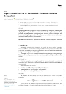
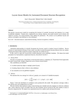
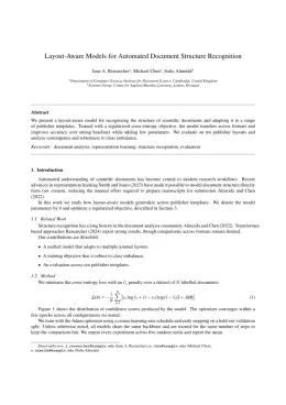
About the Geographies format
Geographies is a peer-reviewed journal published by MDPI, covering Land Use and Ecosystem Services, Flood Risk Assessment and Management, Remote Sensing in Agriculture. Over its lifetime it has published 308 papers, which have received 1,282 citations.
| Publisher | MDPI |
|---|
| Reference style | Numbered (MDPI) Numbered — [1], [2] in the text
1. Smith, A.; Jones, B.; Lee, C. A Representative Article Title. Geographies 2023, 12, 45–58.
Formats any DOI in Geographies style. No sign-up.
|
|---|
| Publishes research in | Land Use and Ecosystem Services Flood Risk Assessment and Management Remote Sensing in Agriculture Geographic Information Systems Studies Hydrology and Watershed Management Studies |
|---|
| ISSN | 2673-7086 |
|---|
| Citation impact (2-yr) | 1.83 |
|---|
| h-index | 16 |
|---|
| i10-index | 36 |
|---|
| Open access | Yes — indexed in DOAJ |
|---|
| Top institutions publishing here | National Technical University of Athens |
|---|
| You get | A submission-ready PDF and the editable LaTeX source — ready to submit. |
|---|
Papers published in Geographies per year
Citation impact of Geographies by publication year
Citations each year’s papers have accumulated so far — the most recent years are still building up.
Most-cited papers in Geographies
Assessment of the Impact of Urbanization on Geoenvironmental Settings Using Geospatial Techniques: A Study of Panchkula District, Haryana
Shruti Kanga, Suraj Kumar Singh, Gowhar Meraj et al. · 6 Jan 2022
Urbanization is an unavoidable process of social and economic growth in modern times. However, the speed with which urbanization is taking place produces complex environmental changes. It has affected the surface albedo and roughness of the soil, thereby modulating hydrological and ecological systems, which in turn has affected regional and local climate systems. In developing…
Deep Learning in the Mapping of Agricultural Land Use Using Sentinel-2 Satellite Data
Gurwinder Singh, Sartajvir Singh, Ganesh Kumar Sethi et al. · 11 Nov 2022
Continuous observation and management of agriculture are essential to estimate crop yield and crop failure. Remote sensing is cost-effective, as well as being an efficient solution to monitor agriculture on a larger scale. With high-resolution satellite datasets, the monitoring and mapping of agricultural land are easier and more effective. Nowadays, the applicability of deep learning…
Who and Why? Understanding Rural Out-Migration in Uganda
Samuel Tumwesigye, Lisa‐Marie Hemerijckx, Alfonse Opio et al. · 25 Aug 2021
Rural–urban migration in developing countries is considered to be a key process for sustainable development in the coming decades. On the one hand, rural–urban migration can contribute to the socioeconomic development of a country. On the other hand, it also leads to labor transfer, brain-drain in rural areas, and overcrowded cities where planning is lagging…
Geomorphological Mapping Global Trends and Applications
Adolfo Quesada‐Román, Manuel Peralta-Reyes · 17 Sep 2023
This study conducts a bibliometric analysis of 735 research papers on geomorphological mapping published in English between 2000 and 2021 using the Web of Science database. The analysis focuses on key metrics such as annual publication rates, journal distribution, common keywords, and frequently cited papers. The results demonstrate sustained investment in geomorphological mapping research over…
Rural Depopulation in Greece: Trends, Processes, and Interpretations
Απόστολος Γ. Παπαδόπουλος, Pavlos Baltas · 22 Dec 2023
Depopulation is caused by low fertility rates and out-migration, and it applies to countries, regions and smaller areas. Rural depopulation is defined as a sharp population decline that falls well below an adequate population size and indicates that an area has lost its demographic reproductive capacity. This paper discusses the socioeconomic and territorial aspects of…